Flat 1, 1 Croxteth Grove, Liverpool, L8 0AB
UPRN:38241035-Beds -Built 2021
Tenure: -Council Tax: Band AEPC: C (77)
Data freshness:Listing· freshListing: fresh, refreshed yesterday (2026-11-05T04:00:06.311246+00:00)Price Paid· freshPrice Paid: fresh, refreshed 4d ago (2026-11-01T13:27:29.720753+00:00)Planning· 4mo agoPlanning: stale, refreshed 4mo ago (2026-07-08)EPC· 6mo agoEPC: stale, refreshed 6mo ago (2026-05-20T10:58:39.129138+00:00)Risk· 5mo agoRisk: stale, refreshed 5mo ago (2026-06-18T00:00:00+00:00)Connectivity· 1mo agoConnectivity: ageing, refreshed 1mo ago (2026-10-03T06:43:10.905825+00:00)Schools· 2mo agoSchools: ageing, refreshed 2mo ago (2026-09-06T16:32:37.982054+00:00)Amenities· 1mo agoAmenities: ageing, refreshed 1mo ago (2026-09-23T00:00:00+00:00)Area· Census 2021Area: static reference data (Census 2021); authoritative and does not refresh
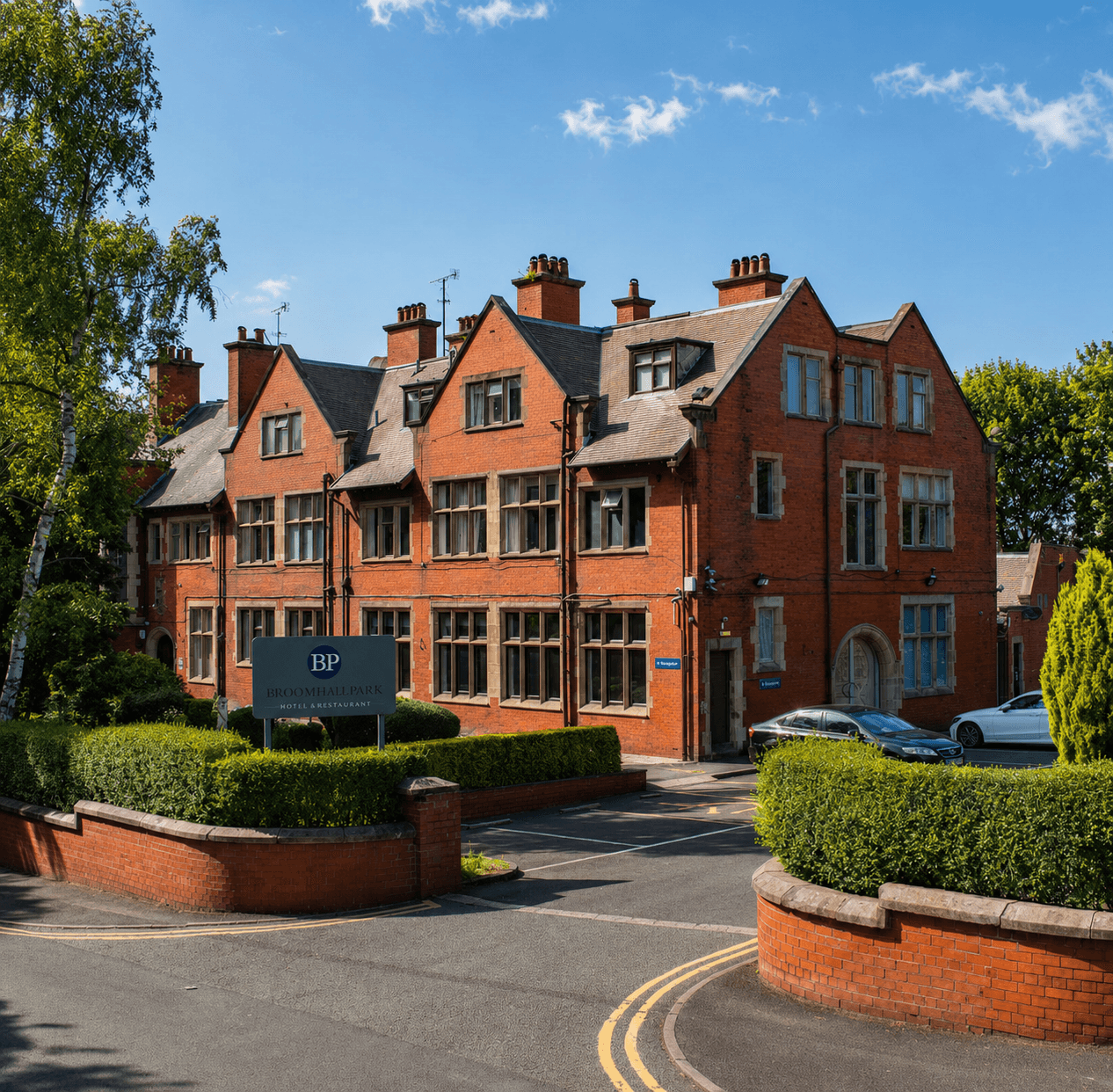
Location map - no listing photos available
HP Score
72
/ 100
Mixed
Verdict
today
- Verdict: INVESTIGATE, on a scale of Buy, Investigate, Avoid.
Mixed signals - investigate
Evidence
12 of 21 sourcesSale Estimate
£487,000
£389k - £584kLow
Estimate
£487k
Range
£389k – £584k
Rent Estimate (pcm)
--
-- - --
Verdict
Derived from HomePortfolio scores
Flat 1 earns an INVESTIGATE rating with HP Score 72/100. Investment score 64/100 reflects moderate fundamentals. Crime intensity is low. Walkability is good (72/100). Flood risk is not assessed: check the Environment Agency long-term flood map before offering. Every figure here comes from the live HomePortfolio API; anything it does not publish is left out.
Key SourcesEPC RegisterPortal listingsMarket estimates (third-party AVM)Defra strategic noise mapping, England Round 4 (Contains Defra data © Crown copyright and database right 2023-2024, Open Government Licence v3.0)Walk ScoreONS Census 2021Police.ukPlanIt / council planning portalsOverture Maps PlacesOfsted / DfE GIAS
72
HP Score
72/ 100
Mixed
64
Investment Score
64/ 100
Moderate
31
Crime Score
31/ 100
Moderate
72
Walkability
72/ 100
High
Transit & Bike
Transit 23Bike 70
Walk Score, out of 100
Valuation & Market
Sale Estimate£487,000
Rent Estimate (pcm)-
Gross Yield-
1y Growth-
3y Growth+2.2%
5y Growth+6.1%
10y Growth+4.7%
Last Sold Price-
Risk Overview
- Flood RiskUnknown
- SubsidenceLow
- RadonLow
- MiningUnknown
- LandslideLow
- Air QualityLow
- NoiseLow
Planning Activity
Recent Apps
0L8 0AB
Approval Rate
-12mo
Development
low
- Pending26TC/1949To carry out tree works in a conservation area
- Pending26H/1904To erect a single storey part side and part rear extension.
- Pending26T/1883To carry out tree works
Ownership
- Corporate Ownership54.6%
- Overseas OwnershipNo
- Lease Term Remaining-
- CovenantsNone
- Lease Type-
- Last Ownership Change-
- SourceLand Registry
Connectivity
Broadband (-)
-
Mobile 4G/5G Coverage
-
EV Charger
-
PTAL Rating
-
Area Profile
Median EarningsLocal authority£30,947
Population Density-
Owner Occupied18%
Age Distribution
0-15 9%16-64 82%65+ 9%
Schools Nearby
- Bellerive FCJ Catholic College0.3 miReport card2026
Ofsted no longer awards a single overall grade.
- Kingsley Community School0.4 miGood
- St Hilda's Church of England High School0.5 miReport card2026
Ofsted no longer awards a single overall grade.
- Inspected by ISIThe Belvedere Preparatory School0.5 mi
5 of 10 nearby schools with published figures were oversubscribed in 2026 - demand, not a catchment.